Paris,
street by street
Mappa is a free iPhone travel journal for city breaks. Explore Paris and every street you pass lights up on your map, for good.
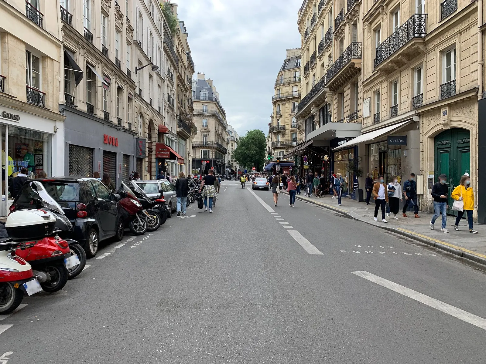
A city break in Paris
Paris spirals out from the Seine in twenty arrondissements, and it's easy to spend a whole weekend inside a handful of them. It's a city made for exploring on foot, one street leading into the next.
Come home from a weekend and the map shows which arrondissements you really explored, and how much of the Marais or Montmartre you saw beyond the famous corners.
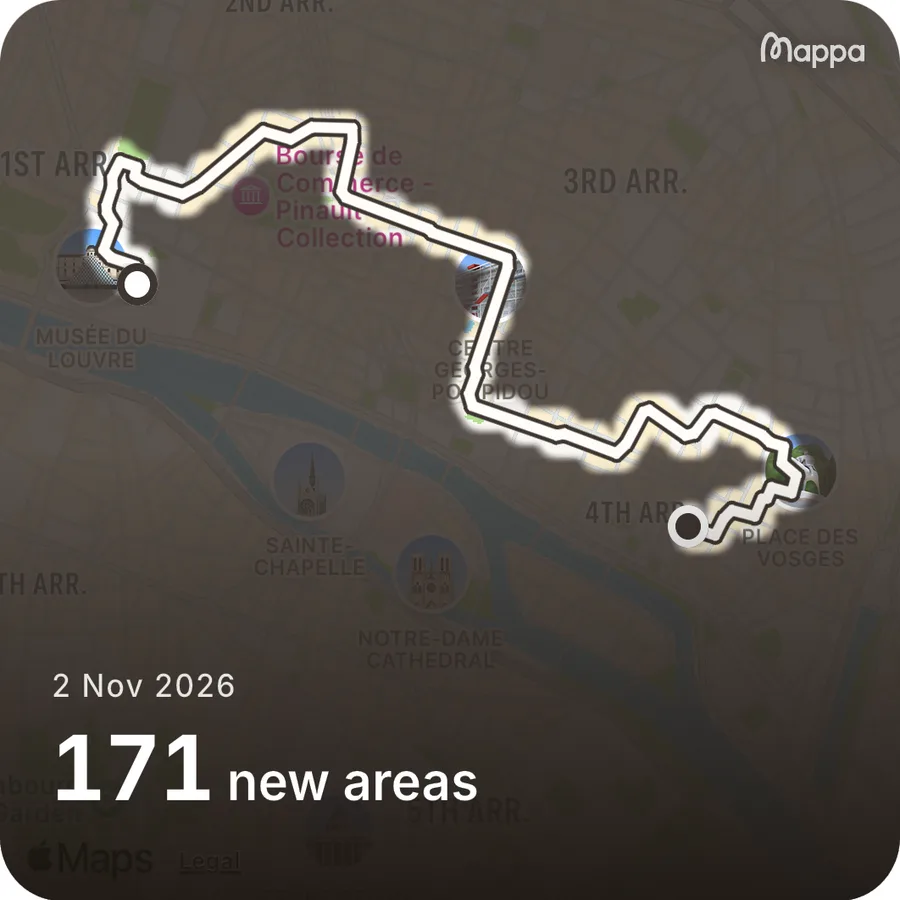
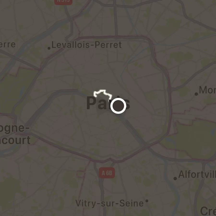
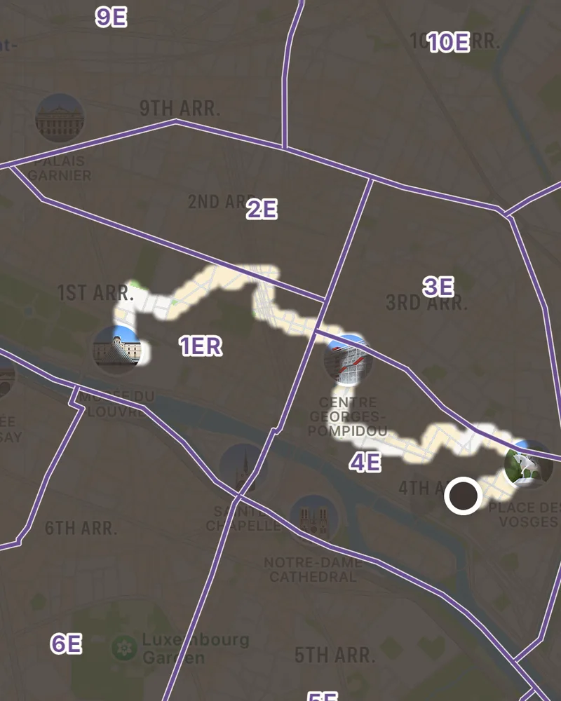
Paris's arrondissements
With Mappa+, Districts draws these 20 on your map, named and outlined, so you know when you've crossed from one into the next.
Outlines from IGN, ADMIN EXPRESS, Licence Ouverte 2.0 (Etalab).
- 1er
- 2e
- 3e
- 4e
- 5e
- 6e
- 7e
- 8e
- 9e
- 10e
- 11e
- 12e
- 13e
- 14e
- 15e
- 16e
- 17e
- 18e
- 19e
- 20e
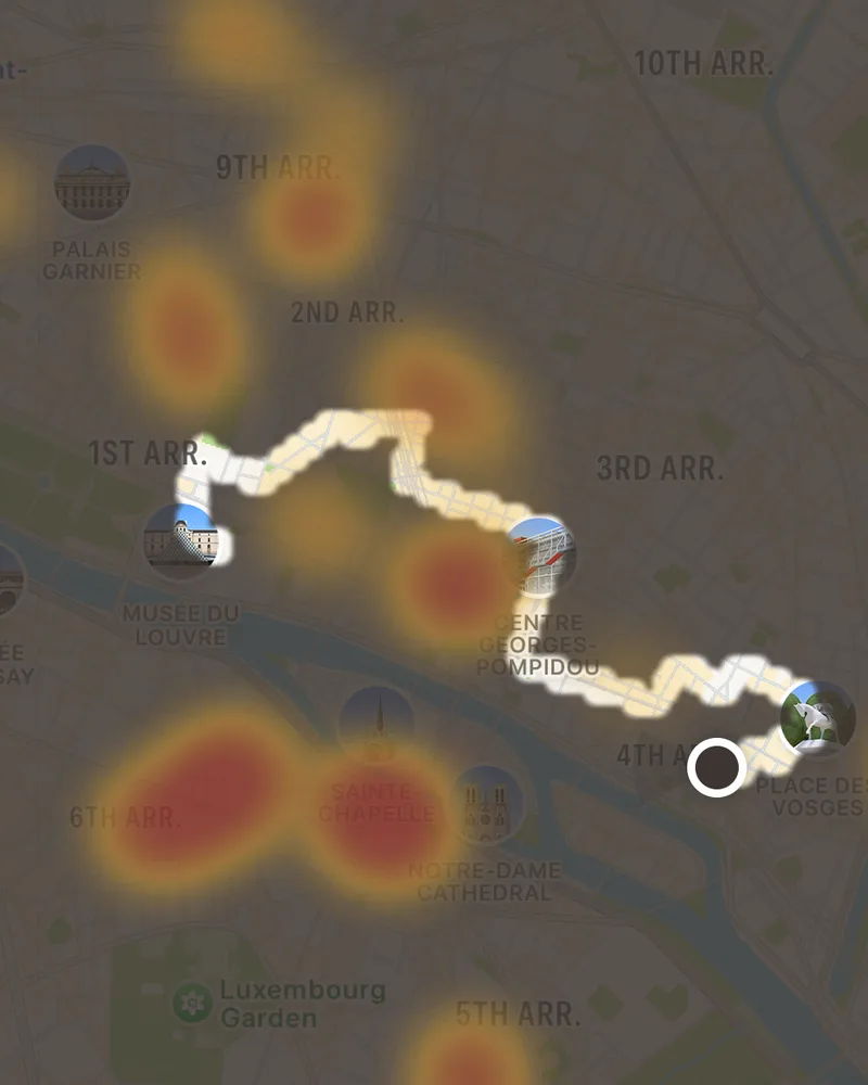
Where Paris goes out
Hotspots shades the streets and squares where Paris's cafés, bars and sights cluster. It covers 26 European cities and comes with Mappa+.
Your own map is free and works everywhere. Every outing in Paris joins the trip page, with your photos and the places you saved.
Is there an app that shows which streets of Paris I've explored?
Yes. Mappa is a free iPhone travel journal for city breaks. Start an outing in Paris and every street you explore lights up on your map, for good, with your photos pinned where you took them.
Does Mappa show Paris's neighbourhoods?
Yes, with Mappa+. Districts draws 20 Paris arrondissements on your map, named and outlined, from open data, and Hotspots shows the streets and squares where the city goes out.
Can I add a trip to Paris I've already taken?
Yes. Add the trip and pick its photos. Mappa pins them where you took them and lights up those spots on your map.
Does Mappa work in Paris without mobile data?
Exploring and capturing do. Outings and photos are recorded on the phone whatever the signal and catch up when you're back online. The base map itself needs a connection to load.
More cities
Start your
Paris map
Install Mappa before you go, or add the photos from a trip to Paris you've already taken. It's free.
Get the app